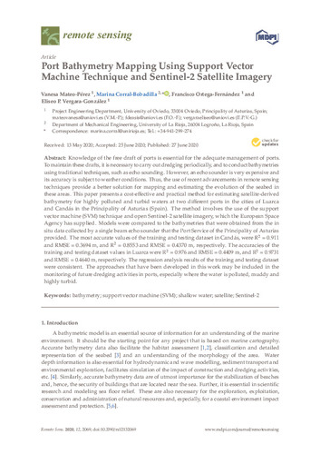
Port bathymetry mapping using support vector machine technique and sentinel-2 satellite imagery
Fecha de publicación:
2020
Versión del editor:
Citación:
Remote Sensing, 12(13), p. 2069- (2020); doi:10.3390/rs12132069
Descripción física:
p. 2069-
ISSN:
DOI:
Patrocinado por:
This work was funded by the Science, Technology and Innovation Plan of the Principality of Asturias (Spain) Ref: FC-GRUPIN-IDI/2018/000225, which is part-funded by the European Regional Development Fund (ERDF).
Colecciones
- Artículos [37534]
- Explotación y Prospección de Minas [323]
- Investigaciones y Documentos OpenAIRE [8350]
Ficheros en el ítem


