UAV-mounted GPR for NDT applications

Palabra(s) clave:
drones
UAV
imaging
microondas
georradar
GPR
minas antipersona
Fecha de publicación:
Editorial:
IEEE
Versión del editor:
Descripción física:
Resumen:
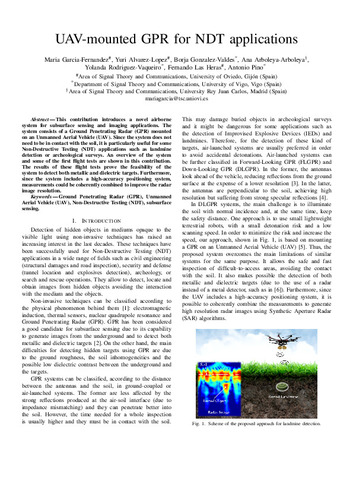
This contribution introduces a novel airborne system for subsurface sensing and imaging applications. The system consists of a Ground Penetrating Radar (GPR) mounted on an Unmanned Aerial Vehicle (UAV). Since the system does not need to be in contact with the soil, it is particularly useful for some Non-Destructive Testing (NDT) applications such as landmine detection or archeological surveys. An overview of the system and some of the first flight tests are shown in this contribution. The results of these flight tests prove the feasibility of the system to detect both metallic and dielectric targets. Furthermore, since the system includes a high-accuracy positioning system, measurements could be coherently combined to improve the radar image resolution.
Descripción:
European Radar Conference (EuRAD) (15th. 2018. Madrid)
ISBN:
Patrocinado por:
This work has been partially supported by Government of Spain under projects TEC2014-55290-JIN (PORTEMVISION) and TEC2015-73908-JIN, and grants RYC-2016-20280 and FPU15/06341; by the Gobierno del Principado de Asturias through IDI/2017/000095; and by the Galician Regional Government under project GRC2015/018 and under agreement for funding AtlantTIC.
Colecciones
Ficheros en el ítem

Métricas
Compartir
